Hidden · Mosca, Colorado, United States
Great Sand Dunes National Park
The tallest sand dunes in North America, rising to 750 feet against a mountain range, with a seasonal creek you have to cross to reach them.
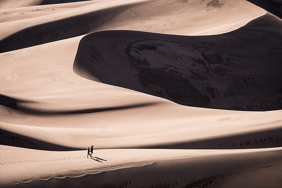
Dunes up to 750 feet tall at the foot of the Sangre de Cristos.
Great Sand Dunes National Park and Preserve protects a large dune field on the eastern edge of the San Luis Valley, near Mosca, in south-central Colorado, together with a preserve in the Sangre de Cristo Range. The park holds the tallest dunes in North America, up to 750 feet, covering about 30 square miles and estimated to contain more than 1.2 cubic miles of sand.
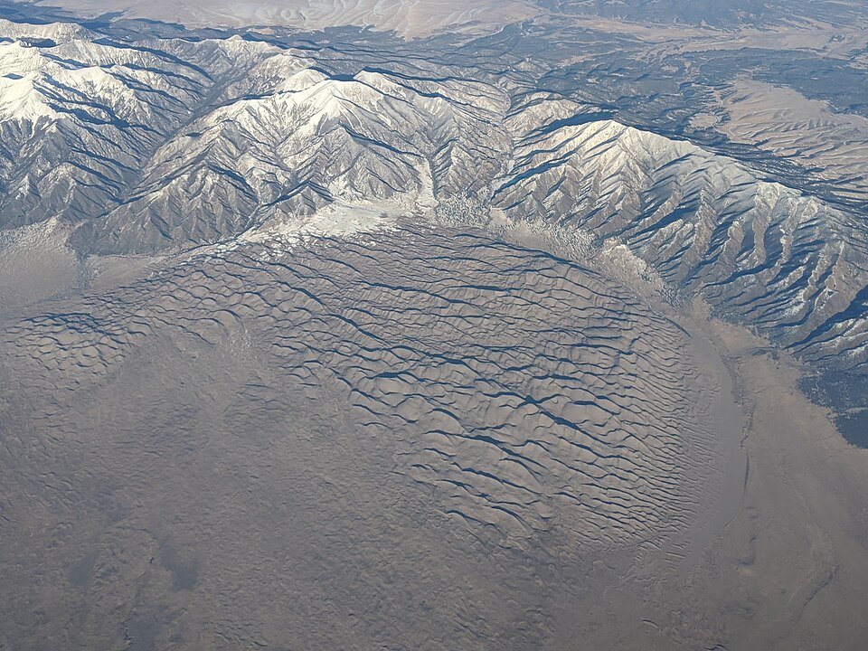
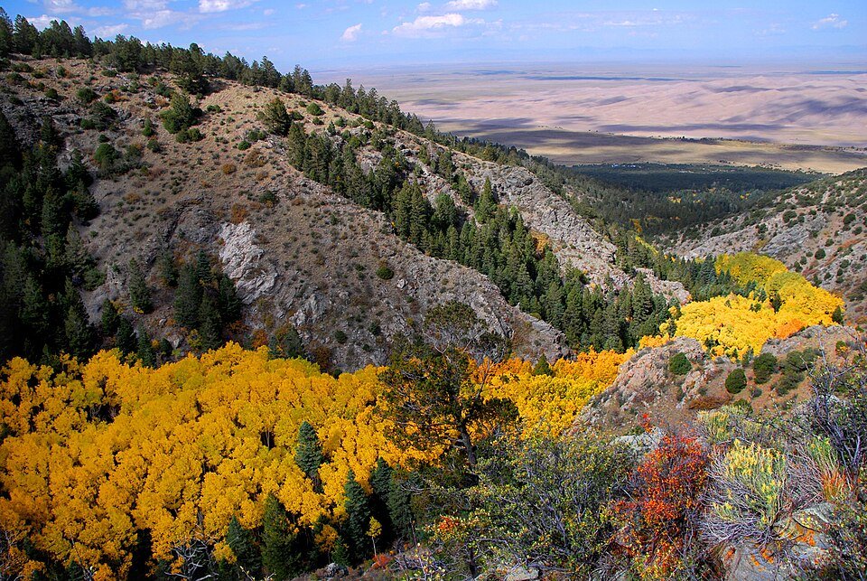
The dunes formed over tens of thousands of years. Sediments from the surrounding mountains filled the valley, and after the lakes there receded, the prevailing southwest winds blew the exposed sand toward the Sangre de Cristos. The system has four main parts: the mountain watershed, the dune field, the sand sheet and the sabkha. The watershed runs from alpine tundra and subalpine forest down to riparian zones.
Eleven thousand years of people, and a park saved from mining.
People have been in the San Luis Valley for about 11,000 years, beginning with nomadic hunter-gatherers who followed mammoths and prehistoric bison and left Clovis and Folsom points. The Southern Ute Tribe was the first historic peoples in the area, and Apache and Navajo peoples also have cultural ties to it. The Ute phrase for the dunes means sand that moves. Blanca Peak, just southeast of the dunes, is one of the four sacred mountains of the Navajo, and the Tewa and Tiwa-speaking pueblos remember a lake near the dunes as the place their people emerged into the present world.
Zebulon Pike left the first known writing about the dunes in 1807, comparing them to the sea in a storm. Settlers ranched, farmed and mined here from the late 19th century. The idea that gold mining or a concrete business could destroy the dunes alarmed residents of Alamosa and Monte Vista, and a bill backed by local people made the area a national monument in 1932. Similar support led to its expansion into a national park and preserve in 2000–2004.
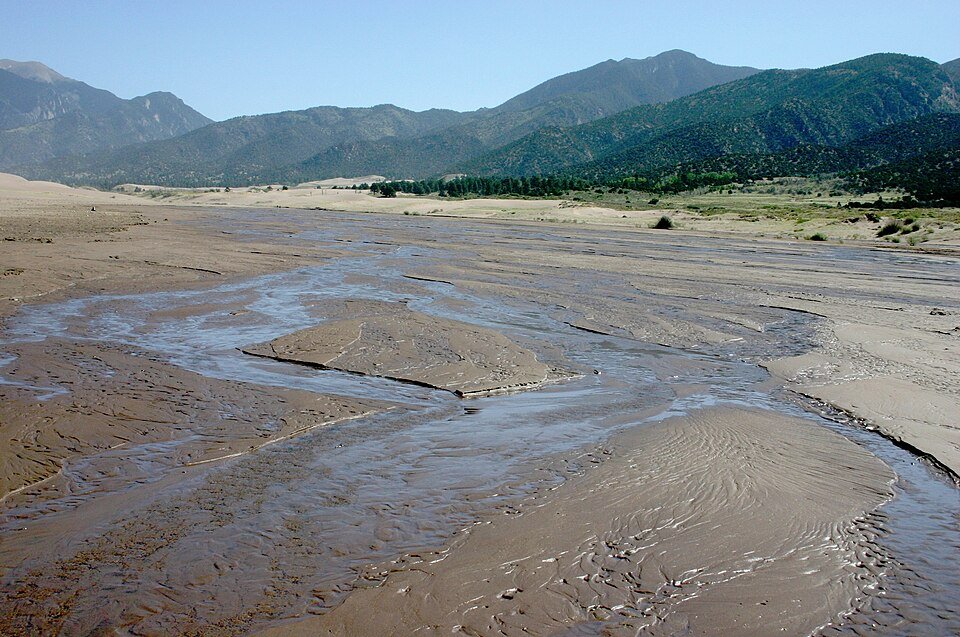
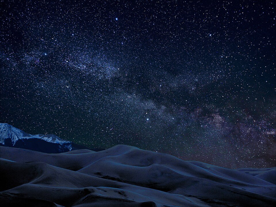
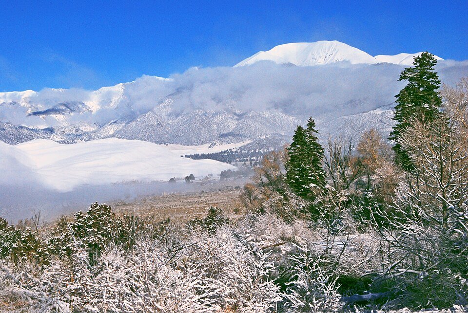
Dunes, creek and mountains in the park.
Practical notes.
Before you go.
How tall are the Great Sand Dunes?
They are the tallest sand dunes in North America, rising to a maximum of 750 feet from the floor of the San Luis Valley.
How did the dunes form?
Sediments from the mountains filled the valley, and after the lakes receded, the prevailing southwest winds blew the exposed sand toward the Sangre de Cristos over tens of thousands of years.
When did it become a national park?
It was made a national monument in 1932 and redesignated a national park and preserve, authorized in 2000 and established in 2004.
Do you have to cross a creek to reach the dunes?
In spring and summer, yes: you walk across the wide, shallow Medano Creek. It usually peaks from late May to early June and is usually no more than a few inches deep from July to April.
Around Colorado
Walking tours, day trips and experiences around this area, on GetYourGuide.