Hidden · Moab, United States
Corona Arch
A natural sandstone arch in a side canyon of the Colorado River, once called Little Rainbow Bridge, reached by a 1.5-mile trail off Potash Road.
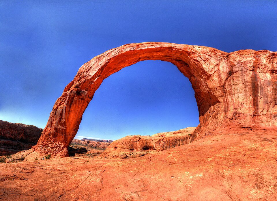
A sandstone arch in a side canyon of the Colorado River.
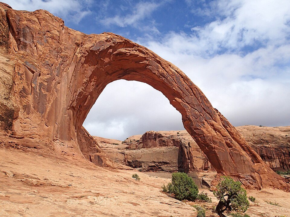
Corona Arch is a natural sandstone arch west of Moab, in Grand County, Utah, in a side canyon of the Colorado River. It used to be known as Little Rainbow Bridge.
It sits in the same rock formation as Pinto Arch and Bowtie Arch. The Corona Arch Trail, 1.5 miles (2.4 km) long, starts at Utah State Route 279, also called Potash Road.
Rope swings, a ban and a message projected on the rock.
Videos of rope swings from the top of the arch spread online and drew more people to jump. In March 2013 a man from Utah died after misjudging the distance to the ground before a swing. After much discussion, a temporary ban on rope-swinging from many arches was put in place in 2015.
In March 2025 an advocacy group, Keep Public Lands in Public Hands, used projectors to display huge messages on the arch, about 100 feet high and 40 feet wide, to oppose plans to loosen protections on public lands.
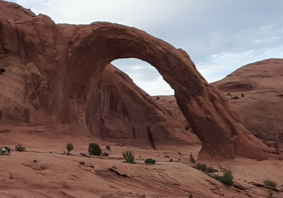
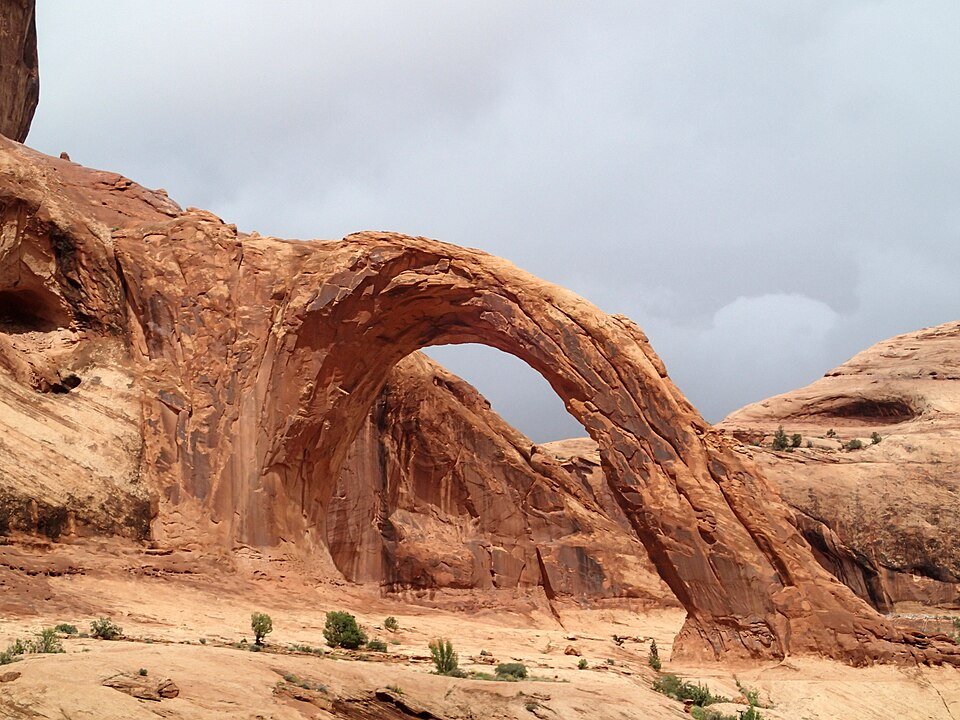
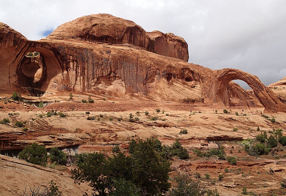
The arch and its canyon.
Practical notes.
Before you go.
Where is Corona Arch?
West of Moab, Utah, in a side canyon of the Colorado River in Grand County.
Did Corona Arch have another name?
Yes. It was formerly known as Little Rainbow Bridge.
How long is the trail to Corona Arch?
The Corona Arch Trail is 1.5 miles (2.4 km) and starts at Utah State Route 279, also called Potash Road.
Can you rope swing from Corona Arch?
Rope swings from the arch were popularized by online videos, and in 2015 a temporary ban on rope-swinging from many arches was introduced. Rules can change, so check current regulations before you go.
Around Moab
Walking tours, day trips and experiences around this area, on GetYourGuide.