Hidden · Epps, Louisiana, United States
Poverty Point
Six concentric earthen ridges and a 72-foot mound in northeastern Louisiana, built by the Poverty Point culture between 1700 and 1100 BCE.
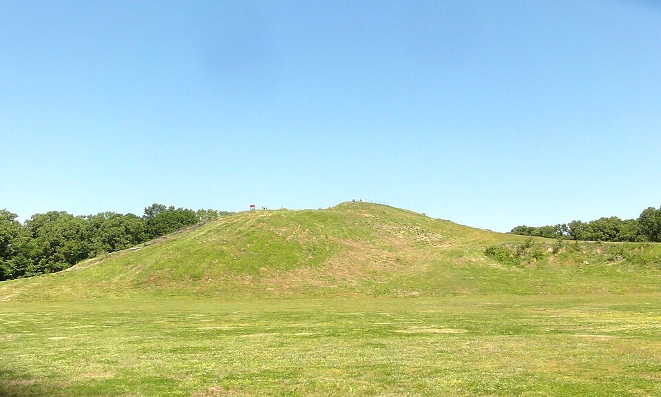
The largest and most complex Late Archaic earthwork in North America.
Poverty Point is a prehistoric earthwork near Epps, in northeastern Louisiana, built by the Poverty Point culture. It is a state historic site, a national monument, a National Historic Landmark and a UNESCO World Heritage Site. The 402-acre state historic site sits on the edge of Macon Ridge, about 15.5 miles from the current flow of the Mississippi River.
The earthen ridges and mounds were built between 1700 and 1100 BCE, during the Late Archaic period. Archaeologists have proposed that the site served as a settlement, a trading center, a ceremonial complex, or all three. The name comes from Poverty Point Plantation, a 19th-century plantation on the property.
The core of the earthworks covers about 345 acres, and the full occupation extended more than three miles along Bayou Macon.
Six C-shaped ridges, a plaza and a mound raised in under three months.
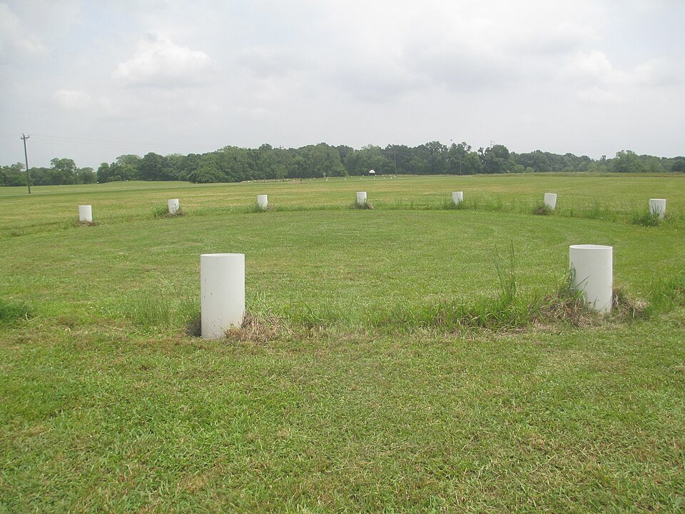
The main feature is six concentric, C-shaped ridges separated by swales and cut by four aisles. They are low today, between about 0.3 and 6 feet high, partly worn down by roughly 150 years of plowing. The scale is so large that researchers only recognized the geometric design from aerial photographs. Most of the ridges were built between 1600 and 1300 BCE. The enclosed plaza covers 37.5 acres and was extensively modified, with soil added to raise the ground in places, and rings of wooden posts were found there.
Mound A, the largest, is 72 feet tall and roughly T-shaped, about 705 by 660 feet at the base. It holds about 8,400,000 cubic feet of fill, making it the second-largest earthen mound by volume in eastern North America after Monks Mound at Cahokia. It was raised quickly, probably in under three months, in one continuous effort. Some read its outline as a bird. Mound B, about 21 feet high, was the first earthwork built here. Mound E, the Ballcourt Mound, is flat-topped, and Mound F was found only in 2013.
Mound D carries a historic cemetery linked to the plantation, so treat that area with care.
Ridges, mounds and the plaza.



Practical notes.
Before you go.
Who built Poverty Point?
The Poverty Point culture, between 1700 and 1100 BCE, during the Late Archaic period. Evidence of the culture spreads across much of the Southeastern Woodlands.
How big is Mound A?
It is 72 feet tall and about 705 by 660 feet at its base, with about 8,400,000 cubic feet of fill. It was probably built in less than three months.
Why is it called Poverty Point?
It is named after Poverty Point Plantation, a 19th-century slave plantation that occupied the property.
Is Poverty Point a World Heritage Site?
Yes. It is also a state historic site, a U.S. national monument and a National Historic Landmark.
Around Louisiana
Walking tours, day trips and experiences around this area, on GetYourGuide.