Hidden · Oglesby, Illinois, United States
Starved Rock State Park
Sandstone canyons on the Illinois River, carved by a flood that came before people, with a French fort site and a legend behind the name.
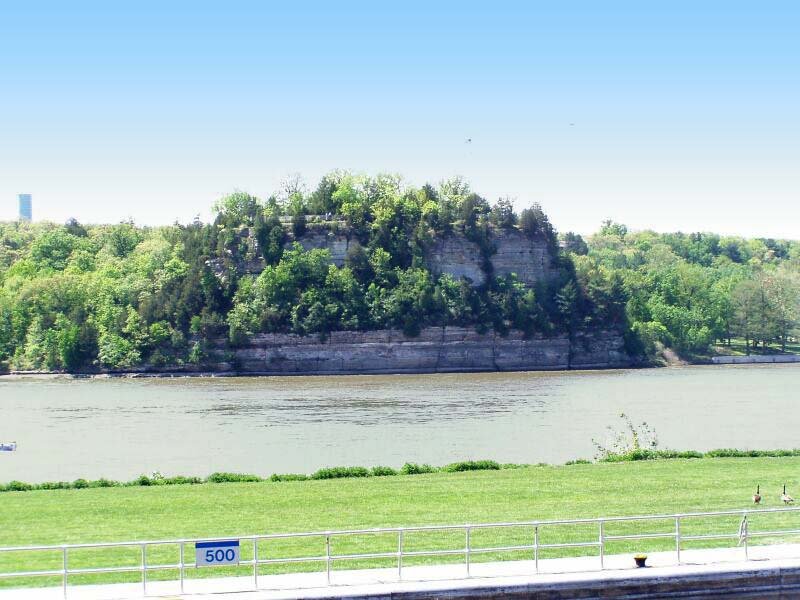
Canyons in the plains, cut by a flood.
Starved Rock State Park lies on the south bank of the Illinois River in LaSalle County, Illinois, near Oglesby and Utica. It covers 2,630 acres and is known for its many canyons, which is unusual for the central plains. The park receives over two million visitors a year, more than any other state park in Illinois.
The landscape began with the Kankakee Torrent, a huge flood from a melting glacier that ran thousands of years ago, before people lived here. The river and its streams cut through a fold in the rock and exposed St. Peter Sandstone, a pure, poorly cemented stone that forms cliffs and canyons.
A fort, a resort and a legend that gave the rock its name.
People have lived along this stretch of river for thousands of years. Later, the Kaskaskia, part of the Illinois Confederation, had a large settlement across the river called the Grand Village of the Illinois. In 1673 the French explorers Louis Jolliet and Jacques Marquette passed through, and in the winter of 1682 La Salle and Henry de Tonty built Fort St. Louis on the butte the French called Le Rocher. Nothing of the fort remains on the surface today.
The name comes from a local legend. In it, the Illiniwek took refuge on the butte, pursued by the Ottawa and Potawatomi, and were besieged until they starved. There is no historical evidence that the siege happened, and the idea that the Illiniwek were wiped out is false. In the late 19th century the area became a vacation resort, and the State of Illinois bought it in 1911 and opened the park in 1912. The Civilian Conservation Corps later built trails, shelters and the lodge in the 1930s, and the Rock was named a National Historic Landmark in 1960.
Canyons, river and lodge.

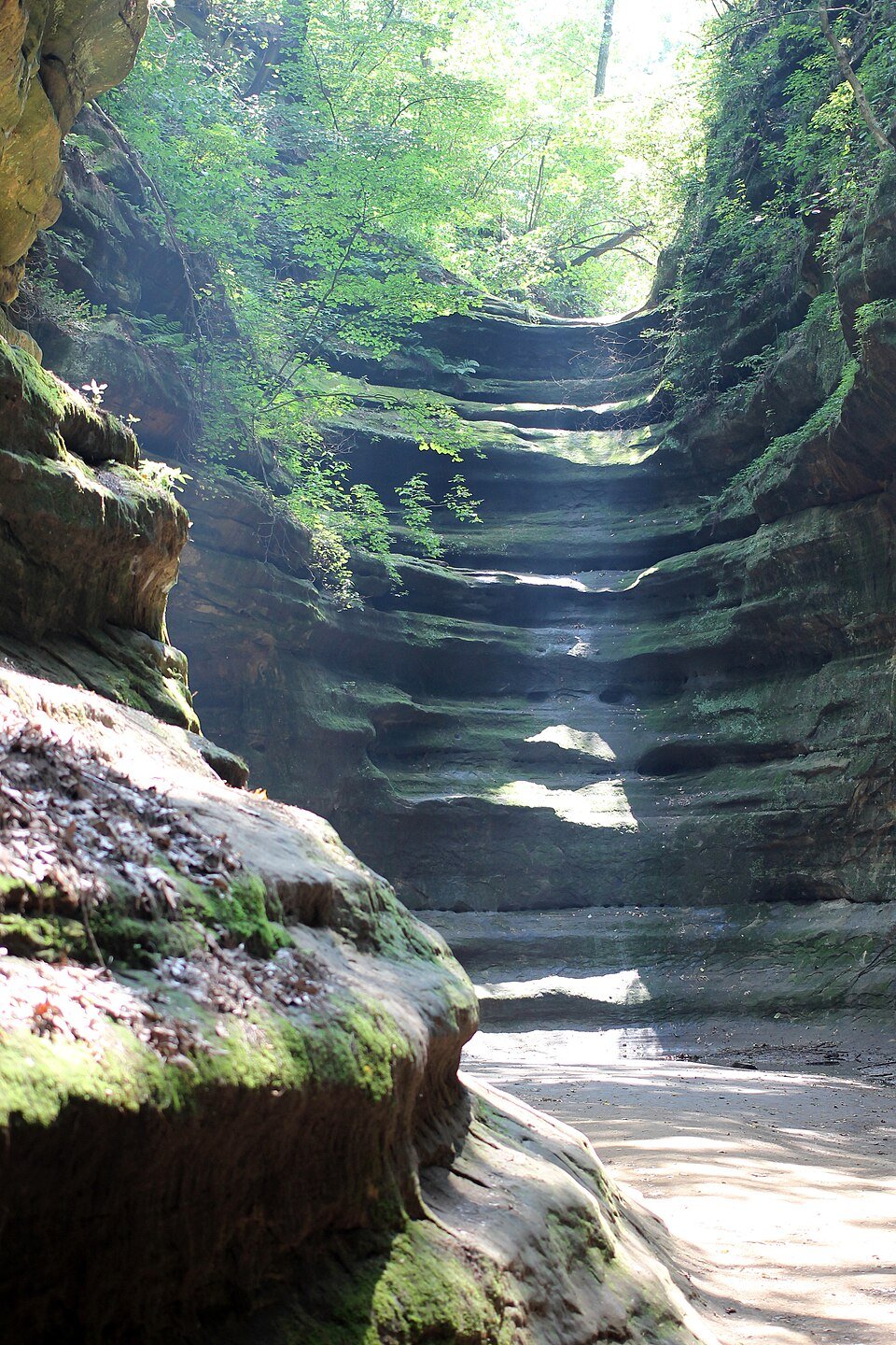
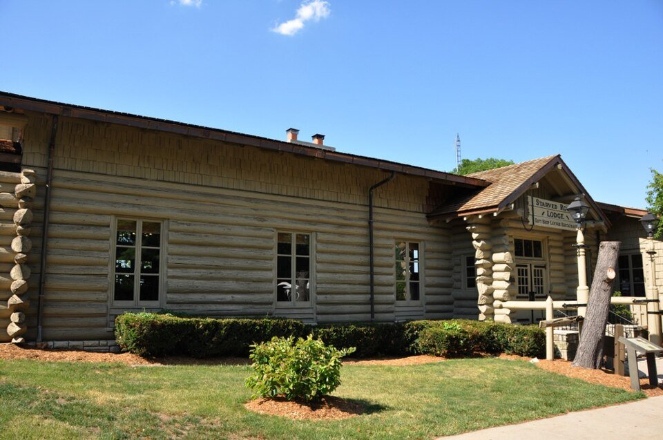

Practical notes.
Before you go.
Why is it called Starved Rock?
According to a local legend, a group of the Illiniwek took refuge on the butte and were besieged by the Ottawa and Potawatomi until they starved. There is no historical evidence that the siege took place.
How were the canyons formed?
By the Kankakee Torrent, a huge flood from a melting glacier thousands of years ago, together with streams that cut through exposed St. Peter Sandstone.
Was there a fort at Starved Rock?
Yes. The French built Fort St. Louis on the butte in the winter of 1682. No remains of the fort are visible on the surface today.
Can you visit Starved Rock State Park?
Yes, it is a state park open to the public. It is very popular, so check the official website for current rules, conditions and hours.
Around Illinois
Walking tours, day trips and experiences around this area, on GetYourGuide.