Hidden · Twin Falls, Idaho, United States
Shoshone Falls
A 212-foot waterfall on the Snake River, taller than Niagara, born from an ice-age flood and long a fishing and trading place for Native peoples.
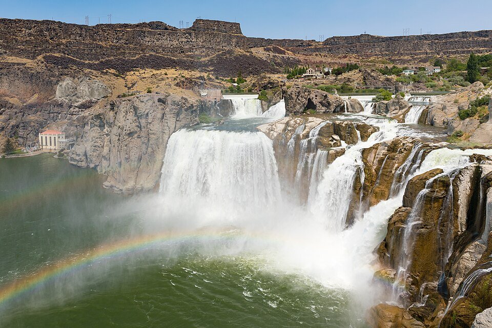
A waterfall taller than Niagara in the Idaho desert.
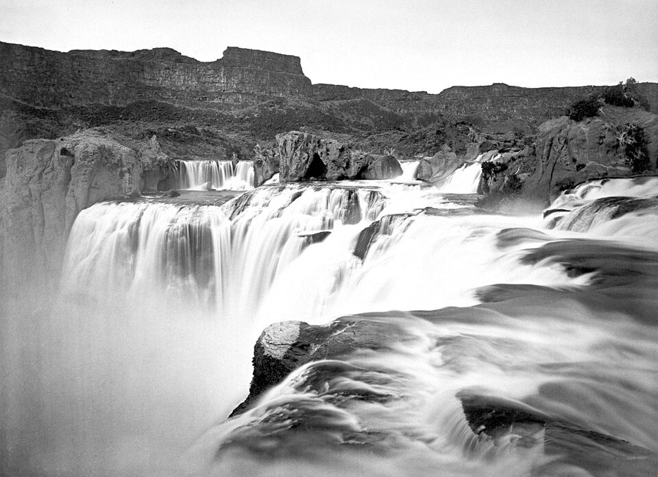
Shoshone Falls is on the Snake River in south-central Idaho, about three miles (5 km) northeast of Twin Falls. Sometimes called the Niagara of the West, it is 212 feet (65 m) high, 45 feet higher than Niagara Falls, and flows over a rim nearly a thousand feet (300 m) wide. Above the drop, the river narrows and rushes through rapids split by islands before plunging over a horseshoe-shaped cliff.
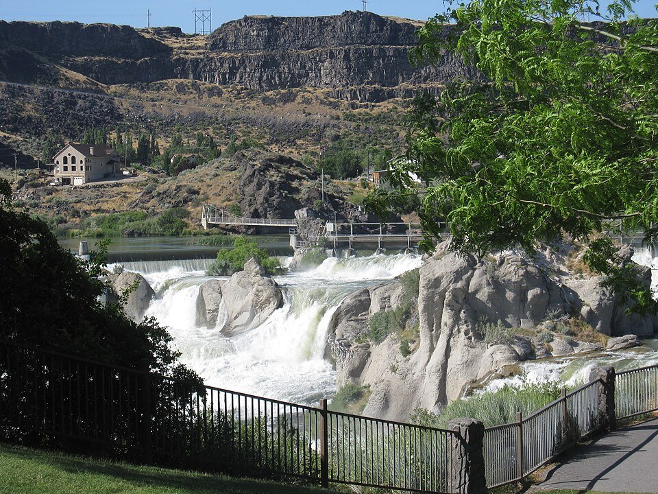
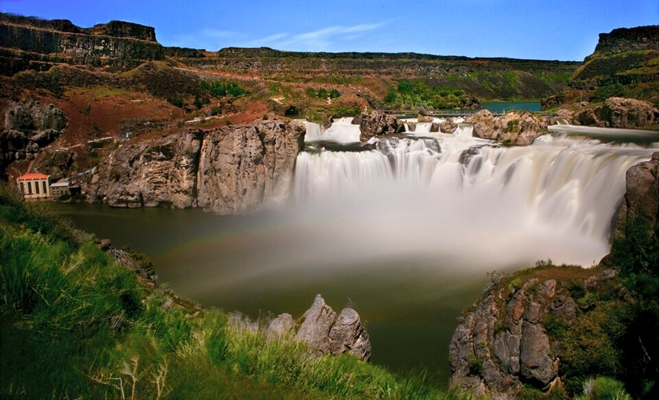
How the falls look depends on the river. At high water they form a single block across the whole width of the river. At low water they split into four or more separate drops, and the widest, northern section is also called Bridal Veil Falls. The City of Twin Falls owns and operates a park overlooking the waterfall.
An ice-age flood, a salmon barrier and a river put to work.
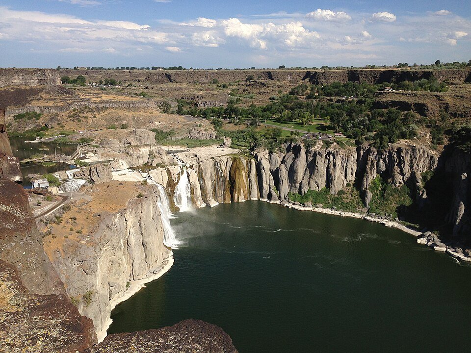
The falls were created suddenly by the Bonneville Flood at the end of the last ice age, when the huge Lake Bonneville overflowed into the Snake River and carved the canyon in a matter of weeks. Because of their height, the falls are a total barrier to fish swimming upstream, and they mark the upper limit of salmon migration on the river. That made them an important fishing and trading place for Native peoples, and they are named for the Lemhi Shoshone, or Agaidika, meaning the Salmon eaters. The Bannock people also came each summer to gather salmon.
Europeans documented the falls from the 1840s. A bishop traveling the Oregon Trail called them Canadian Falls, and in 1849 an Army officer and a civilian artist who drew the first known image of the falls chose the name Shoshone Falls. They became a tourist attraction from the 1860s. In the early 20th century part of the river was diverted to irrigate the Magic Valley, and irrigation and hydroelectric plants helped drive the early economy of southern Idaho.
The falls through the seasons and the years.
Practical notes.
Before you go.
Is Shoshone Falls taller than Niagara Falls?
Yes. It is 212 feet (65 m) high, 45 feet higher than Niagara Falls.
When is the best time to see Shoshone Falls?
In spring, between April and June, when snowmelt is at its peak. Diversion of the Snake River can sharply reduce the flow in late summer and fall.
How did the falls form?
They were created suddenly by the Bonneville Flood at the end of the last ice age, when Lake Bonneville overflowed into the Snake River and carved the canyon in a few weeks.
Where does the name Shoshone come from?
From the Lemhi Shoshone, or Agaidika (Salmon eaters), who depended on the river's salmon runs. The falls are the upstream limit of salmon migration.
Around Idaho
Walking tours, day trips and experiences around this area, on GetYourGuide.