Hidden · Lumpkin, Georgia, United States
Providence Canyon
Georgia's Little Grand Canyon is a state park of red and orange gullies, some over 150 feet deep, with a story that begins with farming, not geology.
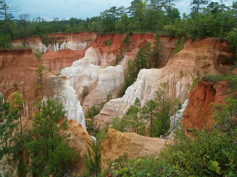
A canyon in southwest Georgia that people helped create.
Providence Canyon State Park covers 2,706 acres in Stewart County, in southwest Georgia, near Lumpkin. The park is built around Providence Canyon, nicknamed Georgia's Little Grand Canyon and counted among the Seven Wonders of Georgia. The deepest gully drops more than 150 feet.
The ground here is marine sediment, mostly loam or clay with small patches of sand. Where erosion has cut through, the canyon walls expose a great deal of clay, and water often seeps over it. The park is also home to the very rare plumleaf azalea. One odd detail is an abandoned homestead with nearly a dozen rusty cars and trucks from the 1950s, which park officials have left in place because removing them would damage the environment.
How a farming problem became a landscape.
The standard story, told since the 1940s, is that these gullies are not a natural feature but the result of erosion from poor farming practices by 19th-century settlers. The first heavy wave of settlers came to Stewart County after the Treaty of Indian Springs in 1825, under which the Creek were forced to give up all their lands east of the Chattahoochee River.
The picture is a little more complicated than that: the formations are at least partly natural, and the canyons are already mentioned in a deed from 1836. Either way, what you see today is a landscape shaped by water running over farmed ground.
Gullies, rim and canyon floor.
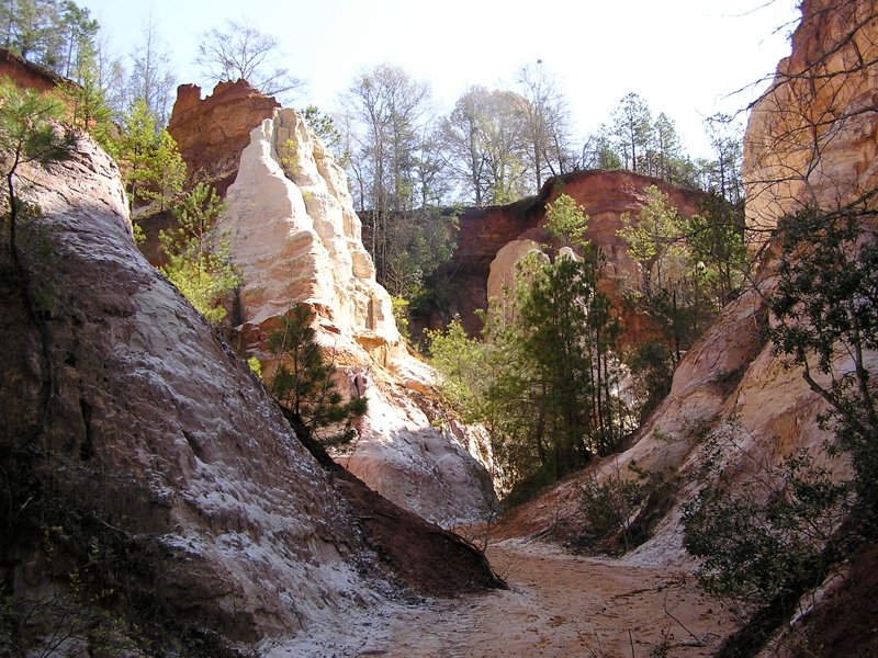
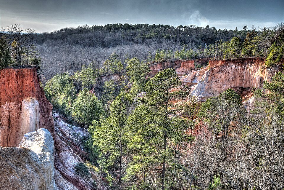
Practical notes.
Before you go.
Is Providence Canyon natural?
Mostly the result of erosion from 19th-century farming, though the formations are at least partly natural, and a deed from 1836 already mentions the canyons.
How deep is Providence Canyon?
The deepest gully is more than 150 feet (46 m). The park around it covers 2,706 acres.
What can you do at the park?
The park offers hiking trails, picnicking and primitive campsites. Check the official page for current conditions.
Why are there old cars in the park?
An abandoned homestead there holds nearly a dozen rusty cars and trucks from the 1950s. Park officials have left them alone because removing them would cause environmental damage.
Around Georgia
Walking tours, day trips and experiences around this area, on GetYourGuide.